- This event has passed.
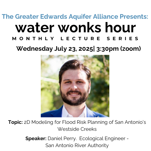
Online – Water Wonks Hour Lecture Series #7: 2D Modeling for Flood Risk Planning of San Antonio’s Westside Creeks

This presentation focuses on enhancing flood risk management for San Antonio’s Westside Creeks, including Apache, San Pedro, Martinez, and Alazan Creeks. It explores the critical role of floodplains in managing flood risks and discusses FEMA’s role in regulating floodplain boundaries and development.
The presentation addresses various types of flooding, such as overland flooding (rainwater runoff) and creek flooding, and how these factors combine to affect flood risk in urban areas. It introduces the concept of a watershed approach to better understand the behavior of floodwaters across an entire region.
A key focus is on modern modeling techniques used to assess flood risks, highlighting the benefits of advanced models that offer a more complete picture of flood hazards beyond traditional floodplain boundaries. The presentation also covers flood mitigation strategies, including green stormwater infrastructure, which can reduce flooding and increase resilience in sensitive areas outside the floodplain.
By leveraging historical data, future weather predictions, and cutting-edge technology, this project provides valuable insights for informed decision-making, better planning, and improved long-term flood resilience for the Westside Creeks area.
